

This year was the first time I attended the CUGOS Spring Fling, an annual event billed as “a full day event centered on open source geo” and “an intensely educational session for practitioners of all things open-source geospatial.” The event was held on Friday, April 15, on the University of Washington campus. I had a great time and learned so much. Parts of the day that made my Spring Fling highlight reel were:
Sarah Battersby, Spatial Binning
Sarah’s presentation was on spatial binning and how to do it correctly. Her talk resonated with me as a GIS analyst because I’m constantly thinking about the validity of my analyses. Raw data are often not compelling and must undergo some sort of analysis to tell a story, like binning to show spatial patterns. That being said, it is important to make sure the analysis hasn’t skewed or invalidated the data. Sarah’s work on quantifying the limits within which spatial binning can be done was both impressive and very applicable.
Nick Hallahan and Seth Fitzsimmons, POSM
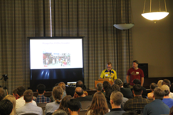 Image: Courtesy of Aaron Racicot
Nick (fellow SpatialDev-er) and Seth shared details from their latest trip and test run of POSM in Ecuador. The POSM project is a fascinating use case of applying the open source framework from a technical standpoint as well as using open data to solve a problem. From the standpoint of someone who has worked on the periphery of this project, it was very exciting to see the project come to fruition and even get to connect to a POSM and edit OSM data.
Dr. Britta Ricker, Open Data in South Africa
Dr. Ricker shared her experience exploring open source data organizations and initiatives in Cape Town, South Africa. She brought the idea of “critical cartography” to the forefront of her presentation in example of how un-mapped areas outside of designated urban areas contribute to inequities in standard of living and safety. She highlighted how different styles of open data sharing are evolving in Cape Town and how these may be able to help illuminate and solve some of the problems the area currently faces.
Sarah Bindman and Daniel Baah, CADASTA
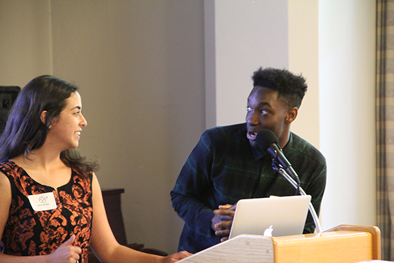 Image: Courtesy of Aaron Racicot
Sarah and Daniel (go SpatialDev!) presented details and lessons learned from their project with the Cadasta Foundation’s open source land recording system. I especially liked this presentation because it dove into the technical structure of the platform, which is integral to any successful project but is hard to discuss clearly. They did such a great job that other attendees approached them afterwards to ask for advice on their own projects. I also enjoyed this presentation because it built so well on the ideas presented by Nick, Seth, and Britta that mapping vulnerable areas is important. In fact, all four presentations I mention above highlight the innate power of maps. Though this may seem obvious, it’s an important reminder. Maps are being leveraged in incredibly creative and impactful ways. Being in the CUGOS space surrounded by open source geo experts and enthusiasts was exciting, as it opened the door to so many possibilities!
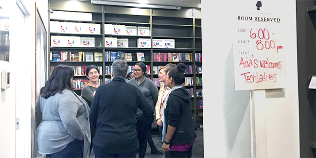
The CUGOS Community!
I would have to say my favorite part of CUGOS was getting to meet, mingle, and talk with other attendees. I met Evan Derickson, who gave a lightning talk on using QGIS for cartography, and we had great discussion about the uses and cartographic potential of QGIS (one of my favorite GIS tools). I saw many other attendees actively working on projects together, meeting other geo geeks, and catching up with friends. This year’s Spring Fling was a great example of the unique and inspiring group CUGOS is. Many thanks to all the volunteers who helped plan and run the Spring Fling. It was a wonderful experience and I’m already looking forward to the next one!
Check out more great images of the event we found from Aaron Racicot: