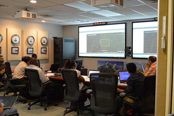
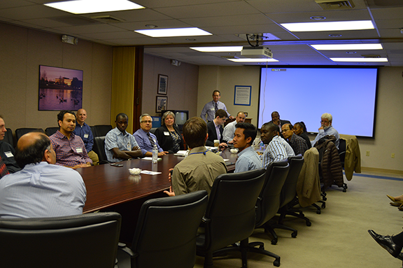
We’ve been working and collaborating with the SERVIR team on innovative geospatial technologies for the past several years. Last week, we had the opportunity to attend the SERVIR Global GIT Exchange, 2016 at Marshall Space Flight Center’s National Space Science and Technology Center in Huntsville, Alabama. During the week-long event, we exchanged technology ideas with members of the SERVIR hub teams.
SERVIR hubs attending the Exchange event included:
• SERVIR-Himalaya hub, located at the International Centre for Integrated Mountain Development (ICIMOD) in Kathmandu, Nepal. (http://geoportal.icimod.org/)
• SERVIR-Eastern and Southern Africa hub, located at the Regional Center for Mapping of Resources for Development (RCMRD) in Nairobi, Kenya. (http://geoportal.rcmrd.org/)
• SERVIR-Mekong hub, located at the Asian Disaster Preparedness Center (ADPC) in Bangkok, Thailand. (http://www.adpc.net/igo/?)
 ![servir.gif]
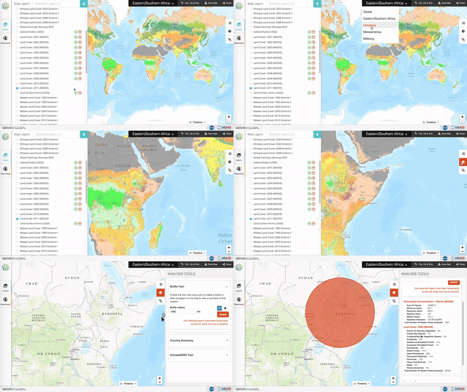
The Global SERVIR Geoportal tool developed by SpatialDev was demonstrated to the different hubs. The Geoportal is a GIS web mapping and technology infrastructure created to integrate satellite and other geospatial data for improved scientific knowledge and decision-making about environmental issues, climate change, and disasters. The Geoportal provides an open source solution for the hubs’ geographic areas, and can be used as a web app template.


