


I was thrilled to attend GeoHackWeek at the University of Washington this November. This event was a cross between a hackathon and a workshop for data scientists, geospatial analysts, and software developers.
The week was an opportunity to learn about different open source technology for spatial research, and to collaborate (or nerd out) with other geo-data and coding enthusiasts.
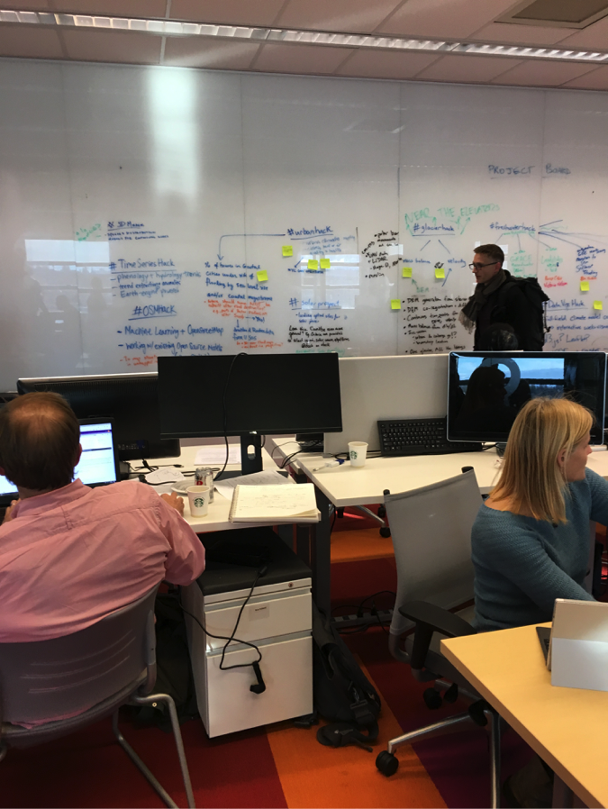
Participant backgrounds ranged from hydrology to atmospheric science to software development to remote sensing to GIS analysis. In addition to participating in tutorials and interactive lectures, we also broke into groups to build a hack project. These projects incorporated tools such as Docker, Jupyter Notebook, Conda, Geopandas, GDAL, xarray, and JSAnimation.
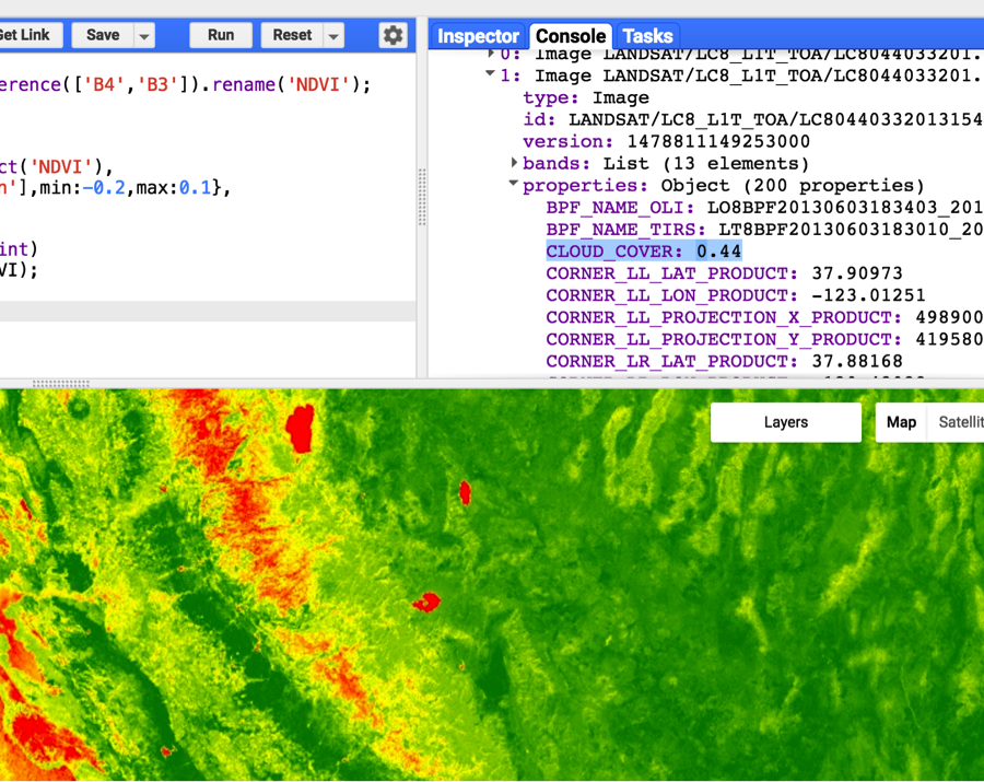
Google Earth Engine, which combines cloud computing, petabyte-scale data storage, and an IDE into one incredible platform, was another important tool that week. Google Earth Engine’s API is currently in development, but the GeoHack group worked through some tutorials to try it out. A few researchers in the group found that analyses that had previously taken several months to complete could be reduced to one day of processing using Google Earth Engine.
Hack projects ranged in both topic and technology. A few examples included: creating an algorithm to predict urban air temperature from several data sources, using machine learning to identify ideal locations for renewable energy, and building a web-based data visualization with spatio-temporal datasets.
As reproducibility and open source code were important aspects of our hack projects, it’s no surprise that Git, Github, and Docker were an important part of our workflow throughout the week.
A big thanks to the University of Washington eScience Institute, all of the instructors, and the Data Science Studio for putting together a great event.