


The first ever Locate conference was one of those where I will be happy to claim, “I was there!“ It was one of the most forward looking geospatial conferences that I’ve ever attended and left several big impressions.
-
The autonomous vehicle navigation market is hot hot hot. Tons of cool innovation going on. Unclear who’s going to be left standing when things shake out, but a lot of great tech around “geo-processing at the edge” is being developed as things mature. Luminar’s CEO Austin Russell impressed us with his candid honesty in describing the difficulties (e.g. centimeter precision, collision avoidance, government compliance, rain/snow visibility, etc.) succeeding in the LiDAR industry.
-
Improving turn-by-turn navigation was a trending topic as well. Mapbox led a code session describing how live traffic data is used for route optimization. They also covered how “maneuver zones” and duration (until next step) are used to trigger instruction audio humanized by Amazon Poly.
-
IoT and emerging HD object detection capabilities “at the edge” (like the Azure AI suite) mean we are fully into the post Client-Server world in the traditional sense. One of the speakers made the point that our smartphones (at least iPhones) are more powerful than the supercomputers of the 1980s. The amount of addressable computing power in the world is mind-boggling and it will enable us to model the world in real time.
-
OpenStreetMap is still a really big deal. A LOT of folks are working to ‘complete’ OSM as the world’s baseline network… and they’re already working on the methods and tools to update it.
-
Besides OSM, the open-source movement is stronger than ever. Among lots of announcements from the hosts, Uber launched their wicked cool analysis and viz tool, Kepler.gl, and I never heard a certain 4 letter company mentioned even once.
-
The closing keynote was definitely one to remember. Mapbox’s CTO, Young Hahn, had an impressive presentation highlighting the journey to create a data model that represents our ever-changing society. As technology advances, we can no longer rely on the brute force, human interpreted approach of iterating over our global spatial dataset. This requires a preactive approach to adjusting to the world emerging technologies (ride/office sharing, augmented reality, HD satellite imagery). Mapbox’s goal is to “eliminate the human join,” meaning replace persons as interpreters with smart technologies used to infer endless data streams.
Kudos to the Mapbox folks for delivering a fantastic conference and nailing it the first time. It’s not easy, especially with the caliber of presenters and attendees. The facility was great. The food superb. The party music… well… we always have to find something to criticize.
Lots of great tech stuff to dream up new applications for.
 Todd’s view for the opening keynote.
 Catching up with old friends and meeting new ones.
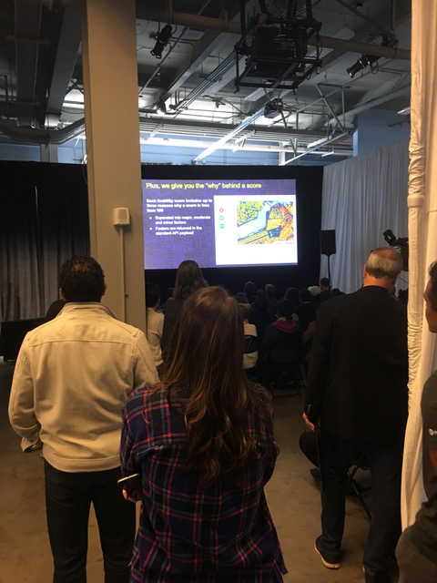 All of the sessions were SRO!
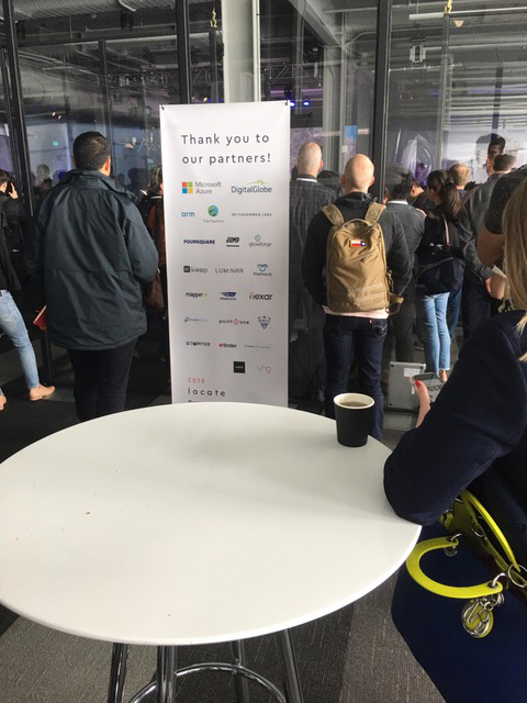
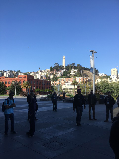 The venue was Pier 27, at the foot of Telegraph Hill.