


Spatial Server is one of the tools we use at SpatialDev as a cost effective framework to provide some of the features our clients consistently need. It’s been years in the making. In this blog post, we learn about the beginnings of SpatialServer and why it’s a great tool for our clients.
This all started years ago, when one of our senior developers, Ryan Whitley, decided he wanted to learn node.js. Some people learn from books or videos. Ryan learns by doing and creating. Over a pancake lunch one day with the SpatialDev team, he decided to make a plan: Build something.
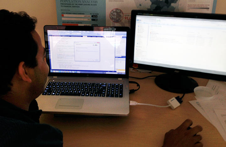 Ryan installing node.js for the first time (July 11, 2013)
So begins the story of Spatial Server. Here’s the story from Ryan:
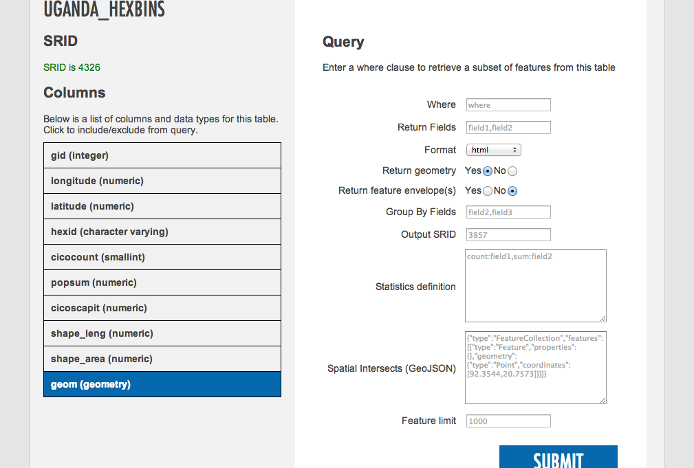
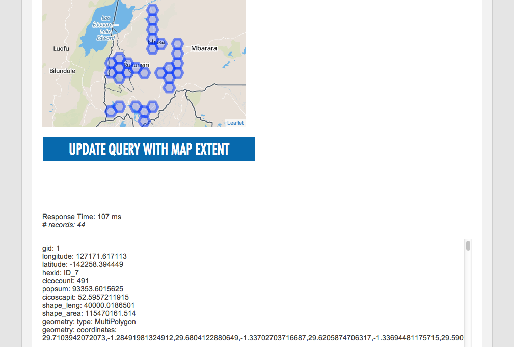
I wanted an open-source alternative to ArcGIS Server, which we had been using, and I wanted to create a dynamic rest API that plugs into Postgres and PostGIS. So I started to build it nights and days and nights and days…
The first iteration included:
- Dynamic query end points for PostGIS tables and views
- Phantom JS-based print server
- Geoprocessing modules
We started using the first iteration on a project I was working on for Catholic Relief Services.
Then, I wanted to add dynamic map tiles (visual maps created from your data). The second iteration used Mapnik (open source map renderer) ecosystem to create the map tiles.
Spatial Server caught on here at SpatialDev. We’re using it on a number projects including an interactive web map to inform decisions for expanding financial services access in sub-Saharan Africa and South Asia; as the back end services layer for a project with the American Red Cross International Services Division; an agricultural investment mapping tool for Tanzania; and a food security atlas for the Middle East and North Africa (MENA) region.
Spatial Server also caught on in the geo community outside of SpatialDev. We’ve seen it used by a GIS consulting company across the globe in New Zealand. Most recently we’ve seen that UN OCHA has integrated Spatial Server into core functionality of the widely used Humanitarian Data Exchange. This is an ideal architecture for serving spatial data through CKAN. https://bitbucket.org/agartner/hdx-pgrestapi
The team has also been experimenting with integrating more spatial capabilities into our mobile survey applications, for example enabling a spatial analysis layer onto FormHub or ODK Aggregate. This would let enable surveyors with more on-the-fly spatial analysis as data flows in from mobile devices in the field.
It’s no wonder it’s catching on. Spatial Server is free, which is great for our clients. It’s dynamic and flexible, so whatever data you have, it points at it and it works! For geospatial developers, it saves time ordinarily spent creating custom web services. On other projects, we would create stuff from scratch every time. Now, we at least have a starting point.
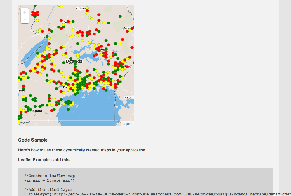 Dynamic Map Tile Service Endpoint
And finally, the logo. ![]()
Chubbs was Ryan’s nickname in college and around SpatialDev. Fellow developer Clint Cabanero started calling it “Chubbs Server”, so it stuck. So much so that our designer, Simon Legaspi, was inspired to come up with the look and feel of the logo, complete with caricature portrait of Ryan.
Check out Spatial Server