


Using satellite data and geospatial technology to mitigate and manage climate change.
What is it:
A joint development initiative of National Aeronautics and Space Administration (NASA) and United States Agency for International Development (USAID), SERVIR works in partnership with leading regional organizations world-wide to help developing countries use information provided by Earth observing satellites and geospatial technologies for managing and mitigating risks associated with climate change.
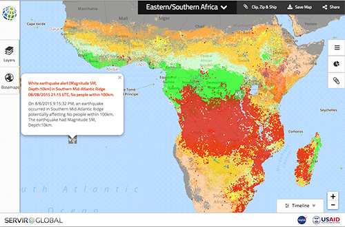
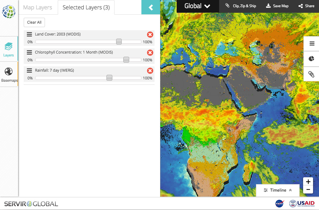
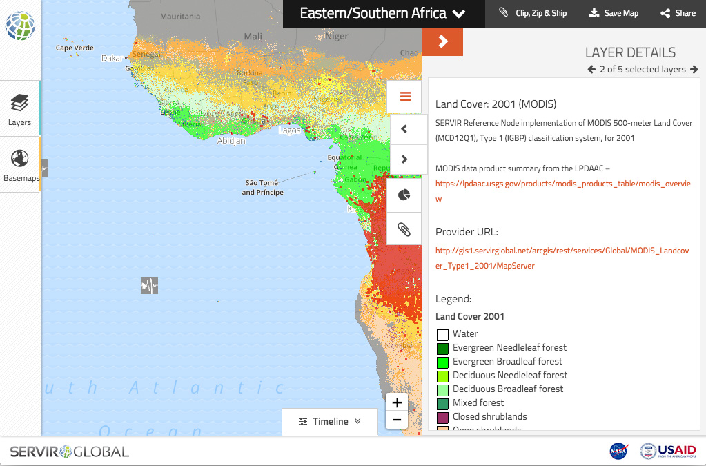
One overarching goal of the project was to help disseminate spatial data (created through the SERVIR program) in places where it is often most difficult to access. With that goal in mind, the team created an application for not just looking at information, but making it fast and simple to access and direct download the information. The SERVIR Geoportal allows users to access, display, and animate the rich information provided by SERVIR and its partners, as well as overlay them with other datasets for more comprehensive analysis.
A quick overview of what the project is:
The goals and objectives of the SERVIR Geoportal were to:
• Refresh the user experience (UX) design
• Create a scalable system to handle an ever increasing amount of open data from NASA and the various SERVIR hubs
• Port over all the functionality of the legacy application
• Create additional tools for data discovery
• Provide a re-usable, free, and Open Source application that could support the local hubs
The SERVIR GeoPortal is nearly completely configurable without the intervention of programmers. When new datasets are loaded into PostGIS, they become instantly accessible through the API built on the PGRestAPI (https://github.com/spatialdev/PGRestAPI). We’re looking forward to working with NASA and USAID along with the SERVIR hubs to open up more data and the application code itself in the coming months.